
For survey consultants, IE and AE firms
Defect reports your client accepts the first time.
For road-survey consultancies, Independent Engineer and Authority Engineer teams who turn hours of footage into a deliverable, and must prove the whole scope was covered.
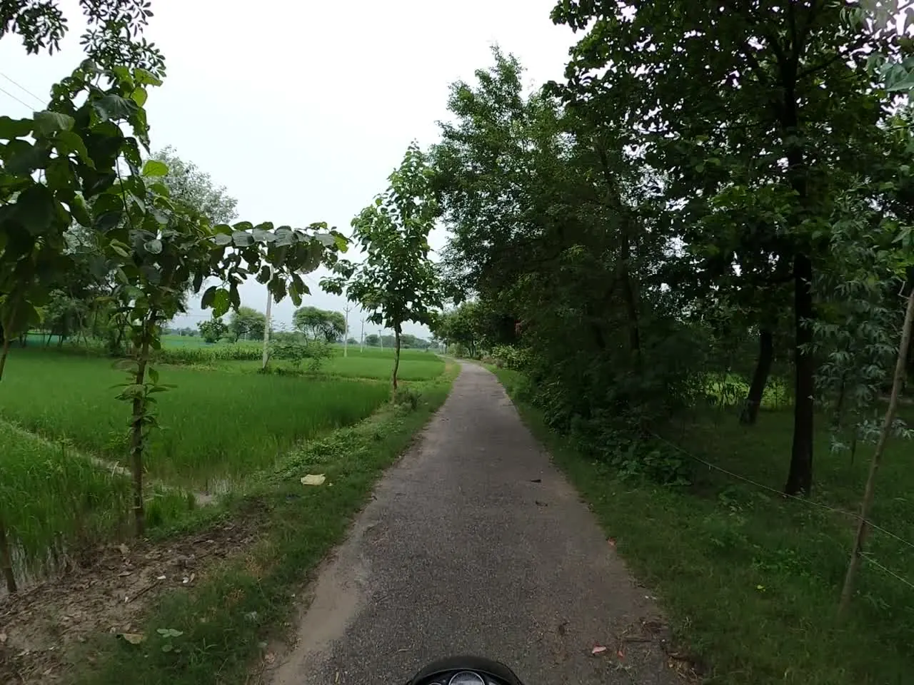
From problem to proof
What changes for your team.
TodayScrubbing 40 km of footage to find one defect again
With RouteLensMap ↔ video sync and “Go to km”
TodayClient questions every “100% covered” claim
With RouteLensFour separate coverage states with a gap list
TodayScreenshots pasted into Word for days
With RouteLensTemplate reports from saved findings and frozen evidence
TodayRevisions overwrite what was issued
With RouteLensNew revisions supersede; issued files never change
Step by step
The workflow.
Import the survey
Drop the recording folder; chapters join into one route after a continuity check.
Load the scope
Import the client’s planned route and section list for coverage.
Review by km
Mark reviewed ranges and add findings from frames with type, severity and quantity.
Close the gaps
Coverage lists sections not recorded or not usable, ready for resurvey.
Issue the report
A second reviewer approves after inspecting every page; issue revision 1 with a receipt.
What you get
Built around your deliverable.
- Faster report preparation from evidence you already saved
- Every finding traceable to its source file, time and GPS position
- Section-by-section coverage proof instead of a single number
- Offline review packages for clients with poor connectivity
- Official chainage navigation after reference-route calibration
- CSV finding register and GIS layers that match the report
Typical teams
Who this is for
- Road-survey and inspection consultancies
- Independent Engineer / Authority Engineer teams on highway projects
- GIS and mapping service firms delivering inventories
- Quality monitors for rural road programmes
Organisation types, not customer references.
Questions
Common questions from survey consultants.
Can I use footage we already recorded last year?
Yes. RouteLens works on existing GPS-tagged GoPro footage or a GPX track paired with video. Nothing needs to be re-recorded to start.
Will the report match my client’s format?
Reports are built from versioned client templates, with required fields and sections, and a preflight that lists blockers before generation.
How does a second reviewer check my work?
Export a scoped review package. The reviewer edits offline; on re-import, conflicts are shown and resolved explicitly before merge.
Also built for
Other teams using the same evidence.

Next step
See RouteLens on your own footage.
Book a 30-minute walkthrough. Bring a recording and a sample report, and we will show you the map, video, findings and coverage working together.