
Map + video review
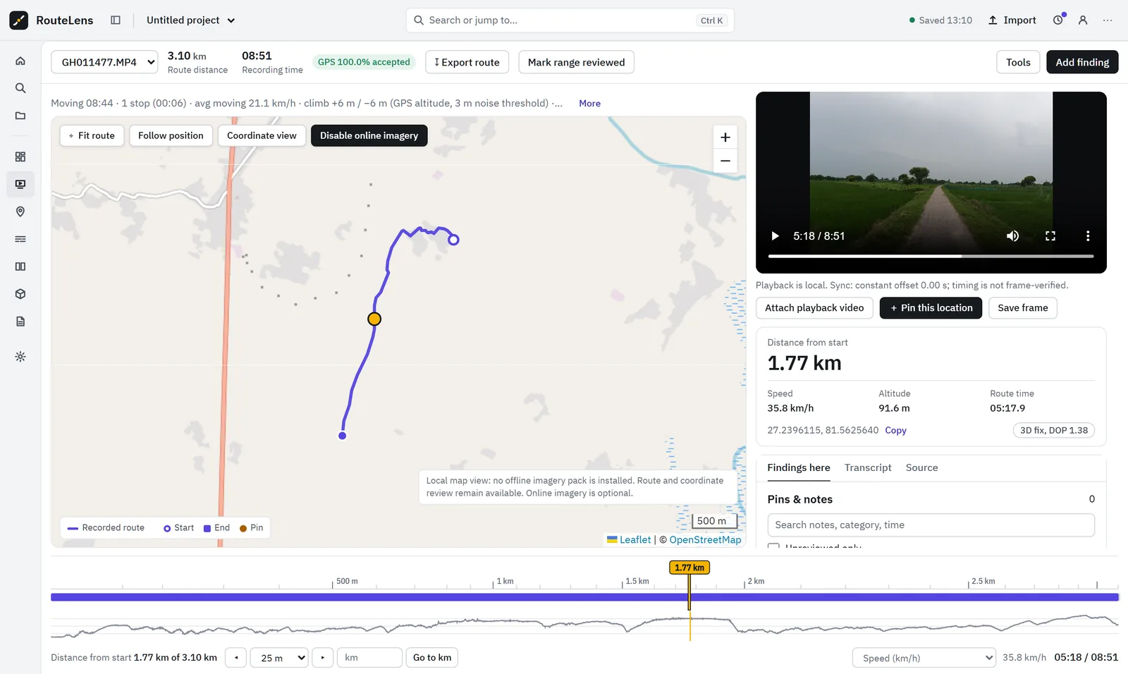
Click the map. The video jumps to that exact moment.
RouteLens links every GPS point to its source video time, so reviewers stop scrubbing blindly through hours of survey footage and start working by location.
Capabilities
What map + video review gives your team.
Route with honest gaps
Start and end markers, nearest-point selection and follow mode. GPS gaps and jumps over 60 m/s split the route instead of drawing a fake straight line.
Two-way sync
Map, video, timeline and speed chart move together. Constant offset, two or more anchors, or least-squares scale and offset.
Suggest anchors from turns
Matches camera turning with GPS heading to propose sync anchors. On the real test file the offset was −0.22 s with 0.12 s residual.
Go to km
Distance along the route for every point (gaps excluded), “Go to km” and step forward or back by a set distance.
GPS quality policy
Presets for driving, cycling and walking. Every rejected point keeps its reason; colour the route by DOP or speed.
360° and coordinate views
Look around stitched 360° MP4 with saved view direction. A coordinate-only view works when no map tiles are available.
In detail
Built for long recordings and real-world GPS.
- Up to 2 million GPS points per project, about 30 hours of 18 Hz GoPro GPS
- Journey analytics: moving time, stops, climb, outages and repeat passes
- Optional offline map pack with your own licensed tiles
- Optional road-snapping overlay that never changes the original data
- Phone and tablet layout switches to Video, Map and Location panes
Good to know: Sync is not frame-exact, and coordinates are as recorded by the camera. DOP is a GPS quality indicator, not a metre-accuracy certificate.
Questions
Map + video review: common questions.
Can I click a pothole on the map and see the video?
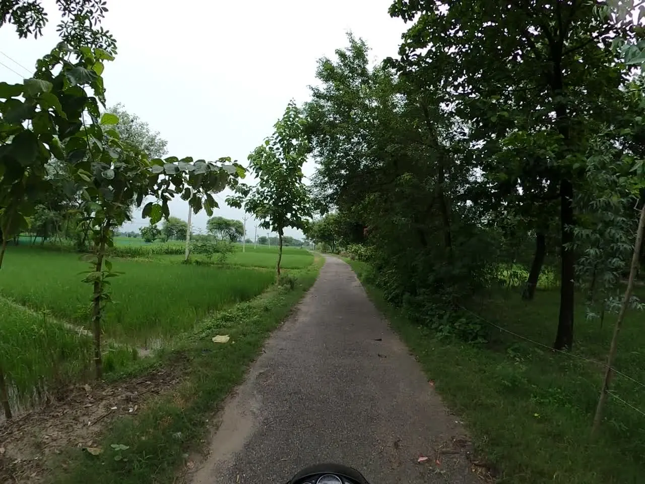
Yes. Clicking any point on the recorded route seeks the video to the matching source time. Scrubbing the video or timeline moves the map marker the other way.
What if the GPS drops out during the survey?
Gaps stay visible. The route is split at outages and impossible jumps, rejected points keep their reason, and positions inside a gap are never invented.
Does it work with 360° footage?
Yes, for stitched equirectangular MP4 (2:1). Drag to look around; pins remember the viewing direction. Raw dual-lens .insv or .360 files need to be exported as stitched MP4 first.

Next step
See RouteLens on your own footage.
Book a 30-minute walkthrough. Bring a recording and a sample report, and we will show you the map, video, findings and coverage working together.