
For municipal, smart-city and utility teams
One asset register, linked to what the camera actually saw.
For municipal corporations, smart-city SPVs, development authorities and utility asset teams who manage roads, drains, signs, streetlights, poles and chambers.
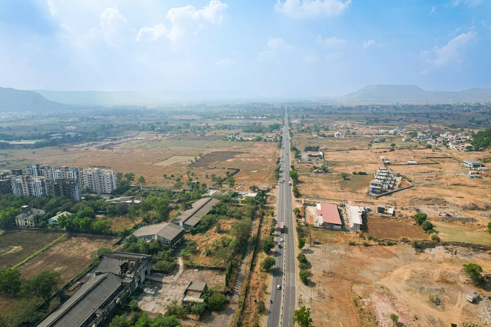
From problem to proof
What changes for your team.
TodayAsset IDs don’t match inspection notes
With RouteLensObservations join stable client asset IDs
TodayDuplicate or wrong assets after every survey
With RouteLensReconciliation with reviewed matches
TodayMonsoon damage hard to compare year on year
With RouteLensRepeat-visit comparison by location
TodayGIS team re-keys everything
With RouteLensGIS-ready export with provenance
Step by step
The workflow.
Import the register
Map CSV or GeoJSON fields to RouteLens assets.
Review the footage
Link observations to IDs, for example “sign SGN-0142 faded”.
Reconcile
Flag assets not seen and new assets missing from the register.
Track issues
Turn observations into findings with owners and deadlines.
Export to GIS
Hand back mapped records with IDs and evidence links.
What you get
Built around your deliverable.
- Ward-wise drains, signs and lights with evidence frames
- Camera position and asset position kept separate
- Road, drainage and visible-utility inspection templates
- Search footage by spoken note or signboard text (opt-in)
- Complaint follow-up with before/after evidence
- KML, GeoJSON and CSV for QGIS, ArcGIS or Google Earth
Typical teams
Who this is for
- Municipal corporations and development authorities
- Smart-city SPVs
- Power distribution, telecom/OFC and city gas teams (second phase)
- Water supply, sewerage and drainage boards (second phase)
Organisation types, not customer references.
Questions
Common questions from municipal & utility asset teams.
Can RouteLens import our existing GIS layers?
Asset registers in CSV or GeoJSON can be imported with field mapping. Approved reference routes can also be imported for chainage.
Is RouteLens ready for utility inspections?
Road survey is the primary use case. Utility and drainage templates are available, and we run them as pilots with further field validation.
Can we search for a location by a signboard or village name?
Yes, with opt-in local OCR and speech indexing (English and Hindi). Results link to the exact source time. Accuracy on real road footage is not yet measured.
Also built for
Other teams using the same evidence.
Next step
See RouteLens on your own footage.
Book a 30-minute walkthrough. Bring a recording and a sample report, and we will show you the map, video, findings and coverage working together.